


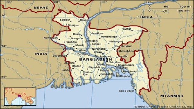
Dhaka, Oct 03 (V7N): Bangladesh typically experiences its monsoon season from June to mid-October, during which most of the rainfall occurs. Traditionally, July is the month with the highest precipitation, followed by a gradual decline. However, this year has seen an extended monsoon period, with unprecedented rainfall recorded in August and September.
According to the Bangladesh Meteorological Department (BMD), rainfall in August was 46% above average, while September saw an additional 33% increase compared to normal levels. As a result, the monsoon may last longer than usual, with the potential for flooding in the eastern and southern regions of the country in October, as well as the likelihood of a cyclone.
Meteorologist Mostofa Kamal Palash, a PhD researcher in meteorology and climate at the University of Saskatchewan, Canada, noted that the current monsoon season has experienced record rainfall due to an active monsoon system. "The axis of monsoon troughs now runs through Uttar Pradesh, Bihar, West Bengal to Assam, crossing central Bangladesh. Consequently, rainfall may persist longer," he explained.
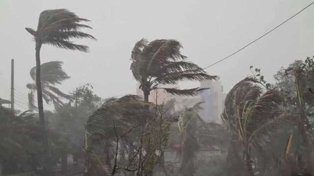
In light of these developments, the BMD has issued a local warning signal number 3 for all seaports, including Chattogram, Cox's Bazar, Mongla, and Payra, due to the ongoing formation of deep convective clouds over the North Bay of Bengal and coastal areas. The forecast has advised fishing boats and trawlers operating in the North Bay to proceed with caution and remain close to the coast until further notice.
Additionally, the BMD has warned of heavy to very heavy rainfall in three divisions—Chattogram, Barishal, and Sylhet—over the next 48 hours, starting from 6 AM Wednesday. The circular also highlights the risk of landslides in the Chattogram division.
The Met Office reported that six low-pressure systems have formed in the Bay of Bengal over the past two months, with four developing into depressions. Meteorologist Muhammad Abul Kalam Mallik stated that a low-pressure area is expected to form over the North Bay on October 4. He noted that this year's monsoon is anticipated to extend longer than previous years, with repeated low-pressure systems and increased rainfall. "Climate change and shifting monsoon patterns are contributing factors to the excessive rainfall," Mallik added.
According to the BMD's long-term weather forecast, 1-3 low-pressure systems may develop in the Bay of Bengal in October, and one of these may develop into a cyclone this month.
Analyzing 133 years of October data, Meteorologist Abul Kalam Mallik noted that 51 cyclones have occurred in the Bay of Bengal since 1891, with 43 categorized as very strong. Of these, 11 severe cyclones have crossed the Bangladesh coast, making October a historically active month for cyclones in the region. The cyclone of October 31, 1960, was particularly devastating, resulting in the deaths of over 500,000 people and a tidal surge reaching 6.1 meters, with flood heights of 20 feet in Chattogram. More recently, Cyclone Sitrang affected Bangladesh on October 25, 2022, damaging 10,000 homes and impacting 6,000 hectares of crops.
While heavy rainfall is expected to lead to short-term flooding in some northern, northeastern, and southeastern hilly areas, Sarder Udoy Raihan, Executive Engineer at the Flood Forecasting and Warning Centre, mentioned that the main rivers in Sylhet and Chattogram may rise over the next three days. "Waterlogging in some areas, such as Cumilla, may worsen with continued rainfall, and parts of Chattogram could experience flooding if rains intensify," he added.
However, the flood situation in the northern region has normalized, with no rivers currently exceeding the danger level.
Meteorologist Mostofa Kamal Palash reported that heavy rains began in various parts of the country on Wednesday and are expected to continue until October 6. The Sylhet and Chattogram divisions are likely to face flooding due to increasing rainfall, with potential landslide risks in the hilly areas of Chattogram.
END/MSS/AJ


Comment: