GENEVA, July 3, (V7N) — El Niño will rapidly intensify into a strong event between July and September, increasing the chances of extreme weather globally, the United Nations’ World Meteorological Organization warned Friday.
The WMO said El Niño has already begun and is expected to strengthen quickly, urging countries to prepare for its impacts.
El Niño is a natural climate pattern that warms surface waters in the central and eastern equatorial Pacific, altering global winds, pressure, and rainfall. It typically occurs every two to seven years and lasts nine to 12 months, alternating with La Niña or neutral conditions.
According to the WMO’s monthly Global Seasonal Climate Update, there is high confidence in a “rapid development into a strong El Niño event during July–September.” The agency ranks El Niño as weak, moderate, strong, or very strong, putting the current forecast at the third-highest level.
“El Niño conditions have developed in the tropical Pacific and are forecast to strengthen rapidly over the coming months, increasing the likelihood of extreme weather events in many parts of the world,” the WMO said.
Forecasts from major global climate centres show consistent, significant warming of ocean temperatures across the central and eastern equatorial Pacific. Seasonal-average sea-surface temperature anomalies are expected to exceed 2°C in key monitoring regions.
“Remarkable agreement” among models provides “high confidence in the outlook,” the WMO added. El Niño is expected to keep strengthening through the Northern Hemisphere autumn, with impacts extending worldwide. The equatorial Atlantic is also expected to remain warmer than average.
The last El Niño helped make 2023 the second-hottest year on record and 2024 the warmest, at about 1.55°C above the 1850–1900 pre-industrial average.
Although El Niño typically peaks between November and February, its temperature effects usually appear later.
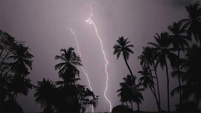
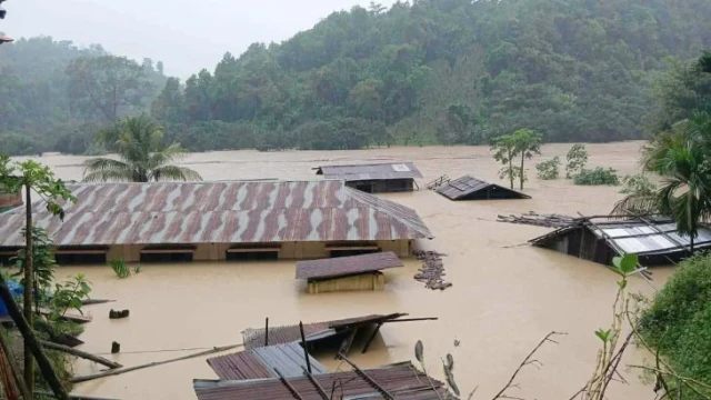
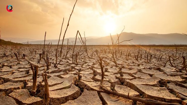
“El Niño conditions are already under way and are forecast to strengthen rapidly into a strong event,” said WMO Secretary-General Celeste Saulo. “This will intensify the chances of drought and heavy rainfall and the risk of heatwaves on land and marine heatwaves in many regions.”
The WMO said it is expanding early warning support to help sectors like agriculture and health prepare. “Advanced seasonal forecasts and early warnings are vital to save lives and cushion the impact on our economies and our communities,” Saulo said.
Temperature impact
The update predicts a high likelihood of above-average temperatures across most land areas between 60°S and 60°N — covering nearly all populated regions outside the poles.
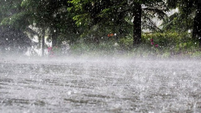
The July–September rainfall outlook aligns with a strengthening El Niño, with above-normal rainfall expected in areas such as parts of the southwestern United States, and below-normal rainfall forecast for the Indian subcontinent and much of Australia.
The WMO noted there is no evidence that climate change increases the frequency or intensity of El Niño events. However, it said climate change can amplify El Niño’s effects, as a warmer ocean and atmosphere provide more energy and moisture for heatwaves and heavy rainfall.
During the Northern Hemisphere summer, El Niño’s warm waters can fuel hurricanes in the central and eastern Pacific while suppressing them in the Atlantic.
END/WD/RH