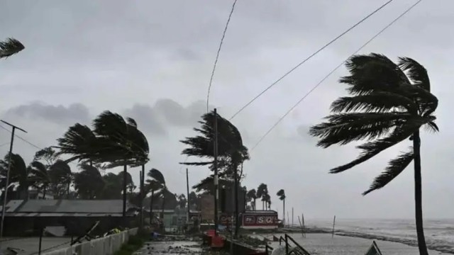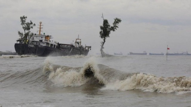
Dhaka, Sep 22 (V7N)- The Bangladesh Meteorological Department (BMD) announced on Sunday night that a low-pressure system has formed over the West Central Bay of Bengal and adjoining areas, leading to increased rainfall activity across the country.
According to the BMD, the monsoon is fairly active over Bangladesh and moderately active over the North Bay of Bengal, which is contributing to the heavy rains.
In its earlier weather update, the BMD mentioned that an extended portion of the monsoon axis stretches across India's Punjab, Madhya Pradesh, Uttar Pradesh, Bihar, Gangetic West Bengal, and central Bangladesh, extending up to Assam. Another portion reaches into the northern Bay of Bengal.
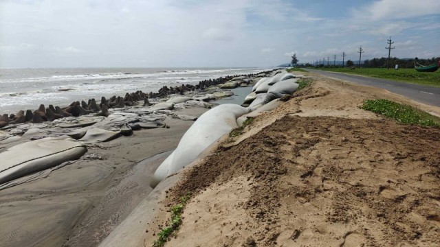
The forecast predicts that many areas in Dhaka, Khulna, Barisal, Chittagong, and Sylhet divisions, along with some places in Rangpur, Rajshahi, and Mymensingh divisions, could experience light to moderate rain accompanied by gusty winds or thunderstorms. Some regions may experience moderate to heavy downpours.
This trend of thundershowers and heavy rainfall is expected to continue until Tuesday. The five-day extended forecast also suggests that the rainy conditions may persist beyond that.
Last week, heavy rains affected various parts of the country due to the influence of a deep depression. Coastal areas faced prolonged rainfall as the depression moved slowly across the region. After a brief reprieve on 18 September, the Meteorological Department indicated the possibility of a new low-pressure system forming over the Bay of Bengal between 21 and 22 September, which would result in renewed rainfall.
The authorities have urged people to stay updated with weather alerts and remain cautious, especially in areas prone to flooding.
END/RH/AJ