

Cyclone Remal is expected to strike the southern districts of Bangladesh by Sunday evening, according to a meteorologist from the Bangladesh Meteorological Department (BMD) on Saturday night.
"Due to the cyclone's influence, Bangladesh, especially its southern and southeastern regions, may experience heavy to very heavy rainfall," said Mizanur Rahman, Director General of the Department of Disaster Management.
Citing data from the Met Office, Rahman noted that the cyclone's large radius could result in significant rainfall in 19 coastal districts as well as central parts of the country.
As the storm approaches, heavy rainfall is anticipated in the southern regions starting Saturday night, he added.
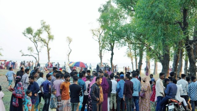
Rahman also mentioned that the government has taken all necessary precautions to manage any destructive impacts of the cyclone. Relevant organizations have been directed to be on high alert, and 78,000 volunteers have been mobilized for an extensive evacuation operation to move vulnerable populations to safer locations.
Maritime ports in Chattogram, Cox's Bazar, Mongla, and Payra have been advised to hoist local cautionary signal number three, replacing the distant cautionary signal, according to a special weather bulletin from the BMD issued today.
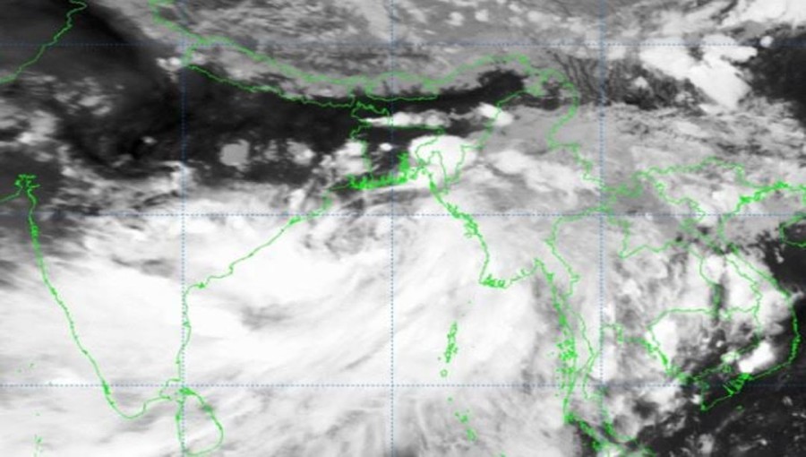
The deep depression over the east-central Bay of Bengal has moved northwards and was located at noon today about 500 km southwest of Chattogram port, 435 km southwest of Cox's Bazar port, 475 km south of Mongla port, and 425 km south of Payra port.
All fishing boats and trawlers in the North Bay and deep sea have been advised to seek shelter immediately.
The deep depression, moving nearly northwards at a speed of 11 km/h, was centered at noon on May 25, 2024, near latitude 18.2°N and longitude 89.7°E, about 420 km south of Khepupara, 420 km south-southeast of Sagar Islands (West Bengal), and 460 km south-southeast of Canning (West Bengal), according to the Indian Meteorological Department (IMD).
The storm is likely to continue moving northwards, intensifying into a cyclonic storm over the east-central and adjoining north Bay of Bengal by the evening of May 25. It is expected to further intensify into a severe cyclonic storm by the morning of May 26 and cross the Bangladesh and adjoining West Bengal coasts between Sagar Island and Khepupara by midnight on May 26, with wind speeds of 110-120 km/h, gusting up to 135 km/h.


Comment: