

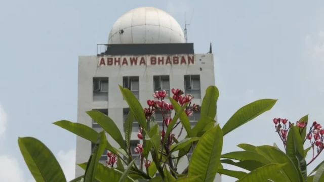
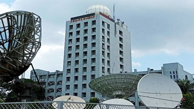
Dhaka, Apr 08 (V7N) – A low-pressure area that developed over the central south Bay of Bengal has now moved northwestwards and is currently positioned over the southwest Bay and the adjacent southeast Bay of Bengal, the Bangladesh Meteorological Department (BMD) reported in its five-day forecast issued Tuesday morning.
The system is expected to continue moving northwestwards within the next 12 hours, potentially influencing weather patterns across the country.
Due to its impact, temporary gusty winds, lightning, and isolated rain or thundershowers may occur in one or two places in the divisions of Rangpur, Rajshahi, Mymensingh, Dhaka, Khulna, Barisal, Chittagong, and Sylhet.
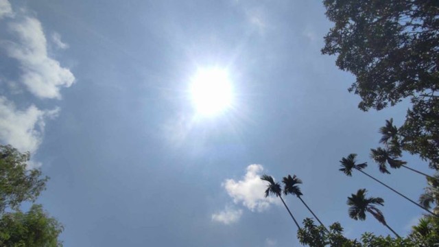
Simultaneously, a mild heat wave is sweeping over Faridpur, Madaripur, Jessore, Noakhali, Feni, Chittagong, Bandarban, and Rangamati. However, meteorologists expect the heat wave to weaken in some areas over the coming days.
-
Wednesday (April 9): Day and night temperatures are expected to remain almost unchanged nationwide, with isolated showers in multiple divisions.
-
Thursday & Friday (April 10-11): Increased thunderstorm activity is forecast, especially in Rangpur, Rajshahi, Mymensingh, Khulna, Barisal, and Chittagong divisions, with sporadic showers likely in Dhaka and Sylhet.
-
Saturday (April 12): A slight rise in both day and night temperatures is anticipated. Rain is still likely in parts of the country.
The Met Office has cautioned residents, especially in thunderstorm-prone areas, to stay updated with the latest weather information and remain alert during sudden changes.
END/MSS/AJ


Comment: